Rapideditor
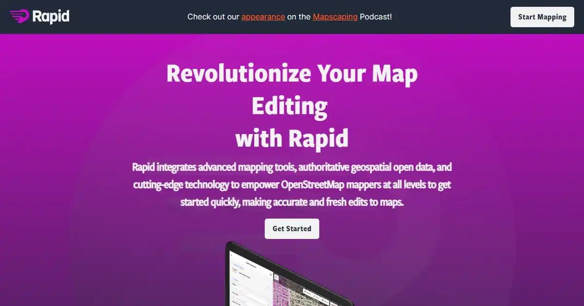
Rapideditor is a map editing tool that revolutionizes map editing by integrating advanced mapping tools, authoritative geospatial open data, and cutting-edge technology.

Pricing
Free
New Features
Open Source
Tool Info
Rating: N/A (0 reviews)
Date Added: August 3, 2023
Categories
Experiments
What is Rapideditor?
Rapideditor is a revolutionary tool for editing maps that aims to revolutionize the map creation and editing process. It combines advanced mapping tools, authoritative geospatial open data, and state-of-the-art technology to provide mappers of all skill levels with the ability to make precise and innovative edits to maps with ease.
Key Features and Benefits
- AI-Assisted Map Geometry: Utilize open data and AI-predicted features to create map geometry, saving time and streamlining the process.
- AI-Analyzed Satellite Imagery: Get a high-level overview of unmapped and missing data worldwide to identify areas that require mapping attention.
- User-Friendly Interface: Intuitive interface makes map editing accessible to mappers of all levels, ensuring inclusivity.
- Open Map Data and Machine Learning: Display open map data and machine learning detections to support mapping projects, creating comprehensive maps.
- Support for Mapping Initiatives: Rapideditor supports humanitarian and community groups in their mapping projects, fostering a global community of mappers working together to map the world more comprehensively and effectively.
Use Cases
- Urban Planning:
- Create and edit maps for city planning
- Add new buildings, roads, and infrastructure to the map
- Visualize the impact of plans on the city
- Make informed decisions
- Real Estate:
- Create and edit maps of properties for sale
- Add property boundaries and nearby amenities
- Help potential buyers understand the property and surroundings
- Logistics:
- Create and edit maps for delivery routes
- Add new delivery locations and optimize routes
- Save time and money on deliveries
- Agriculture:
- Create and edit maps of fields
- Add crop types and irrigation systems
- Plan planting and harvesting schedules
- Optimize crop yields
- Environmental Monitoring:
- Create and edit maps of environmental data
- Add pollution levels and wildlife habitats
- Monitor changes in the environment over time
- Make informed decisions about conservation efforts
- Emergency Response:
- Create and edit maps of disaster areas
- Add road closures and evacuation routes
- Coordinate response efforts
- Save lives in emergency situations
Loading reviews...


